Three of our members have been undertaking a project to locate and record the different types of walls and boundaries and the features within them in the Holcombe Valley. On Saturday 23rd June 2018 they led a walk, along with geologist and dry stone wall expert Ken Howarth to explore some of the walls and other features in the valley. Below are some photographs from the walk. This in an ongoing project, so keep an eye on this page for further updates.
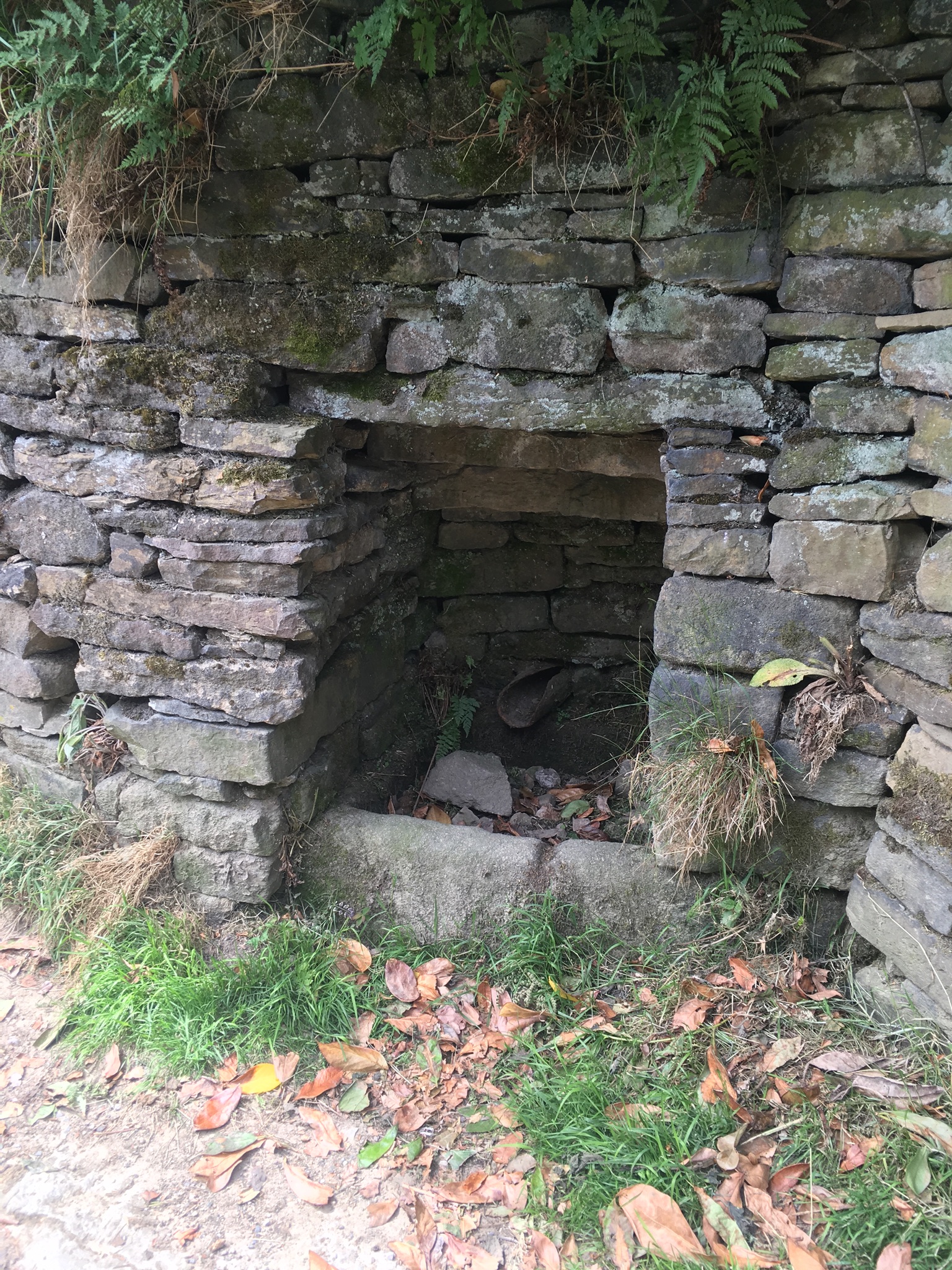
A well on Moorbottom road
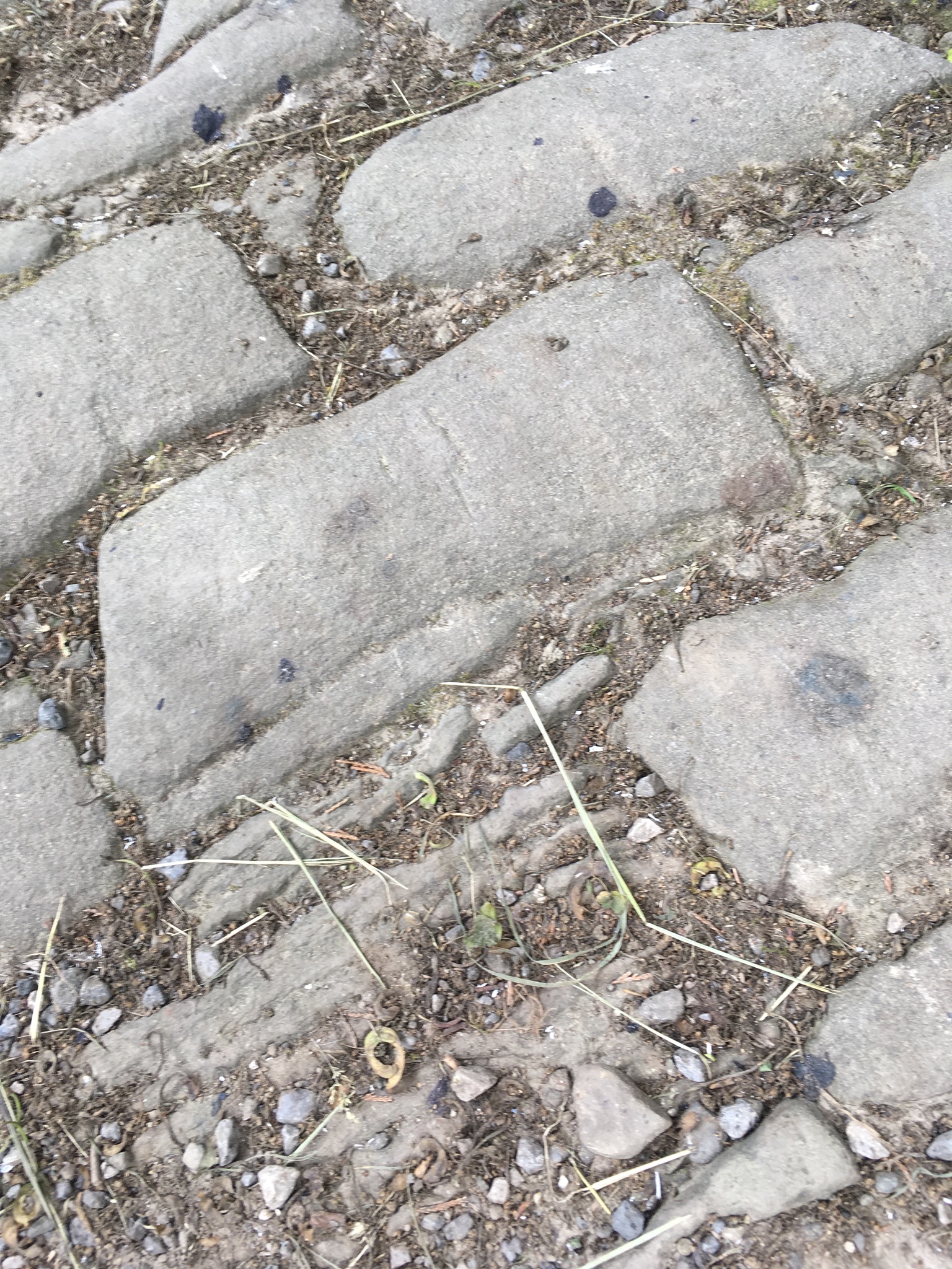
Sloping setts designed to enable horses to grip the road more effectively
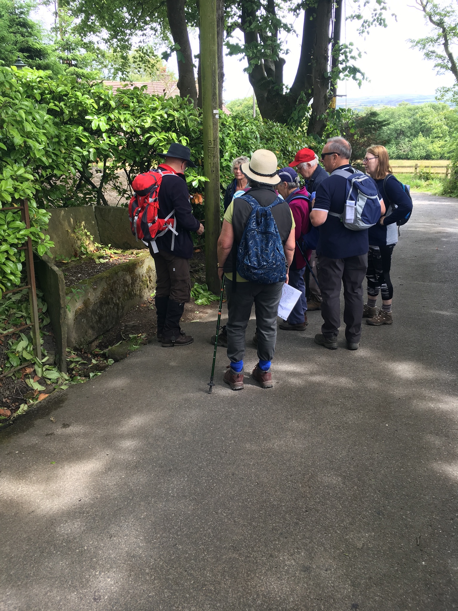
Looking at a drinking trough
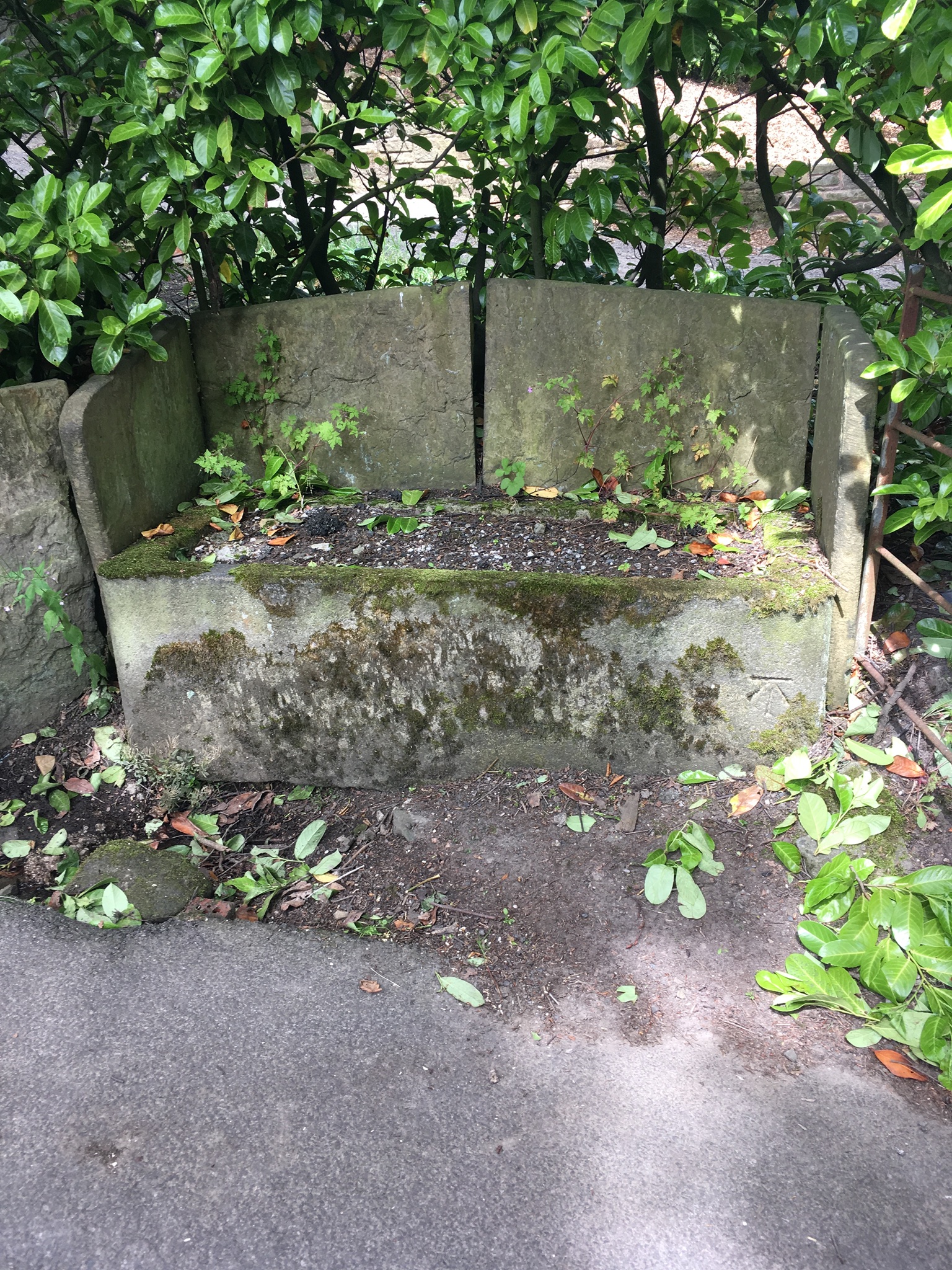
The well-made drinking trough
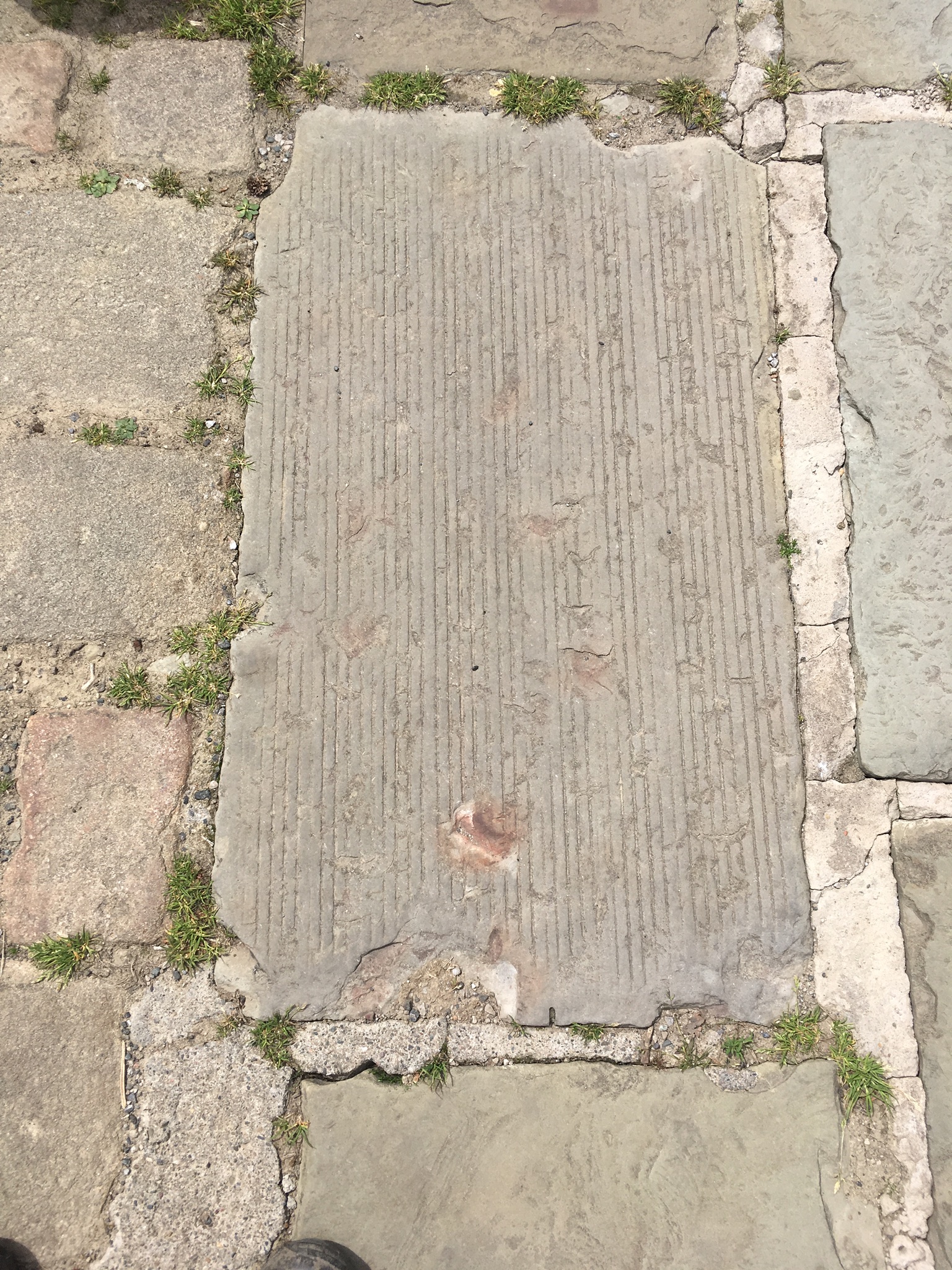
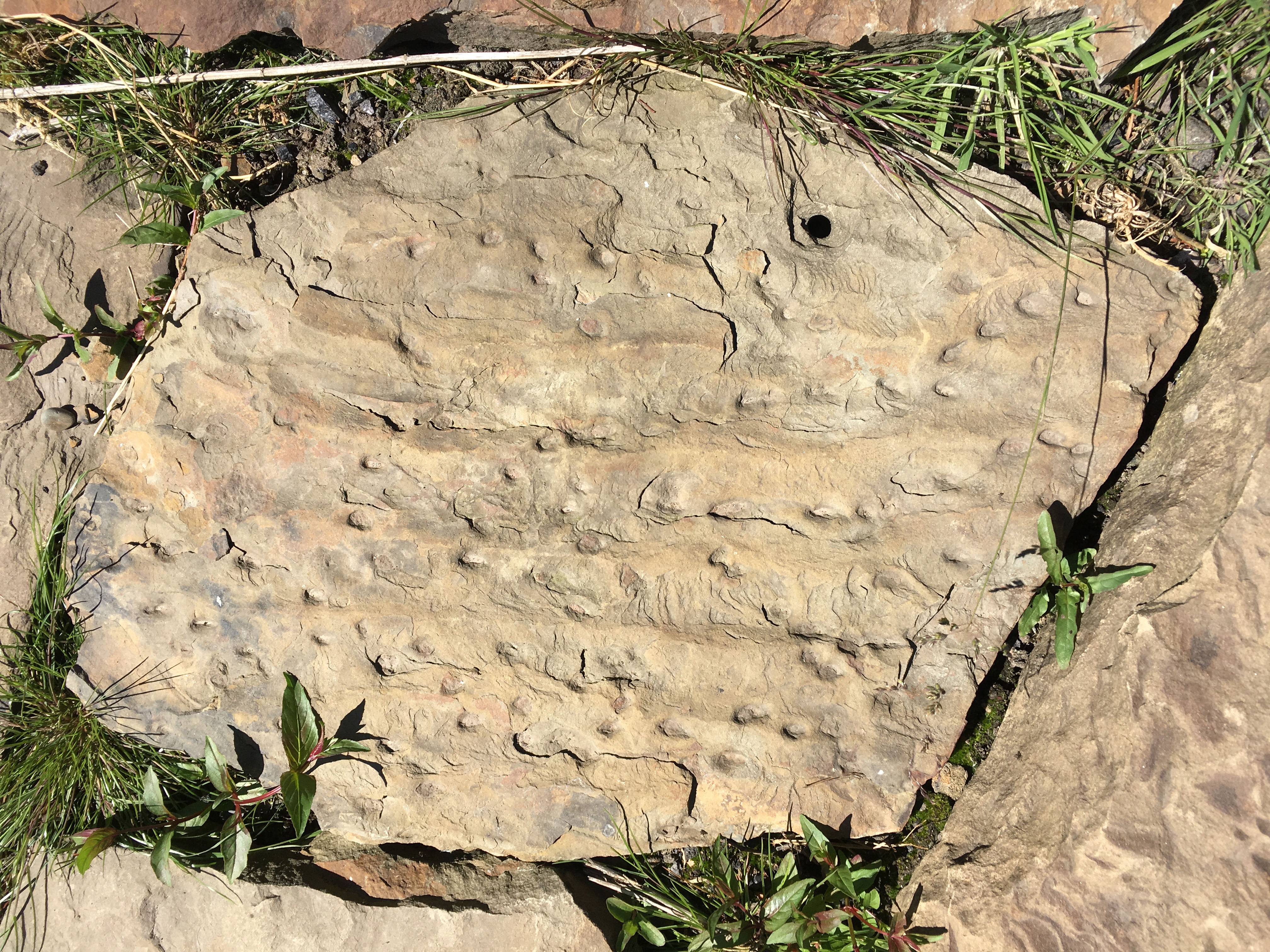
The lines on this flagstone show it was cut from the quarry by a machine
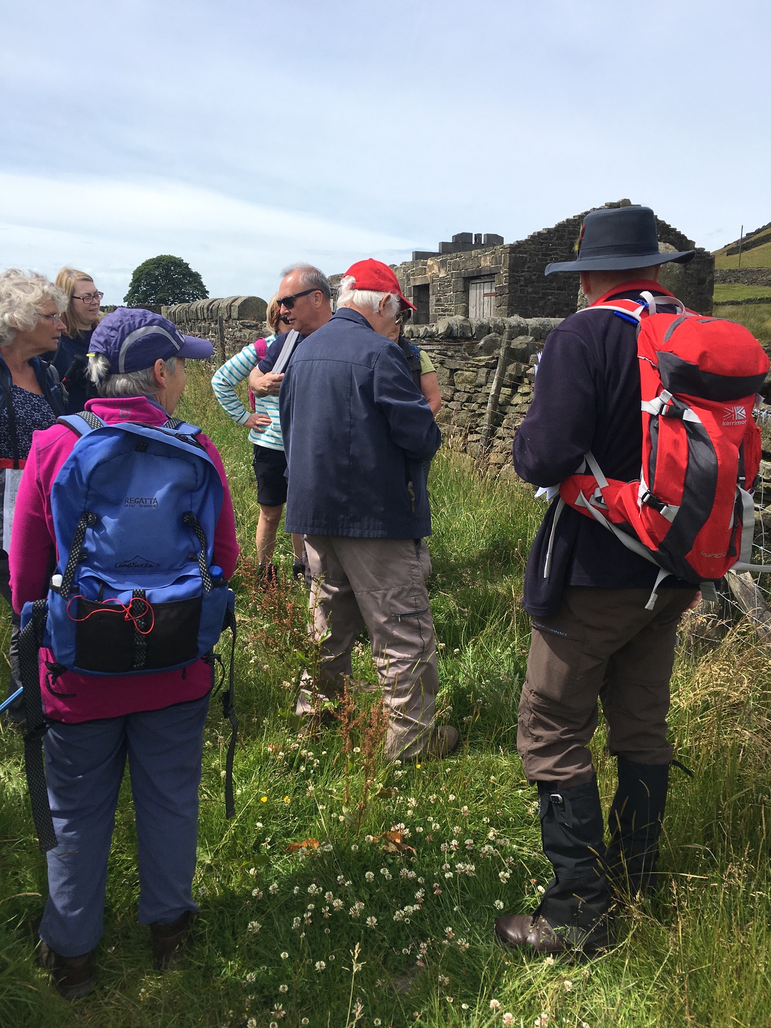
Looking at the features of this dry stone wall
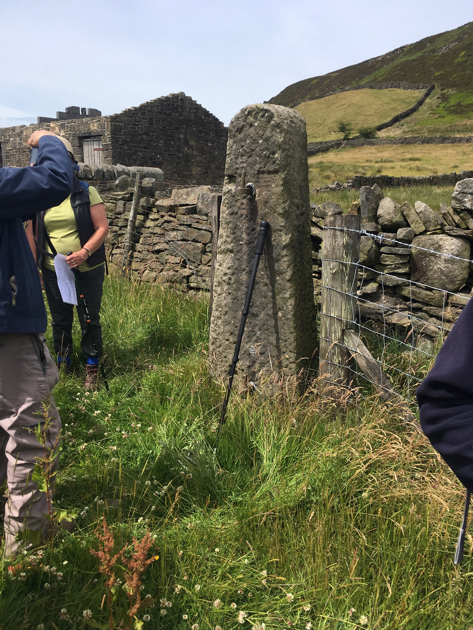
A large gatepost or “stoop”
Another dry stone wall
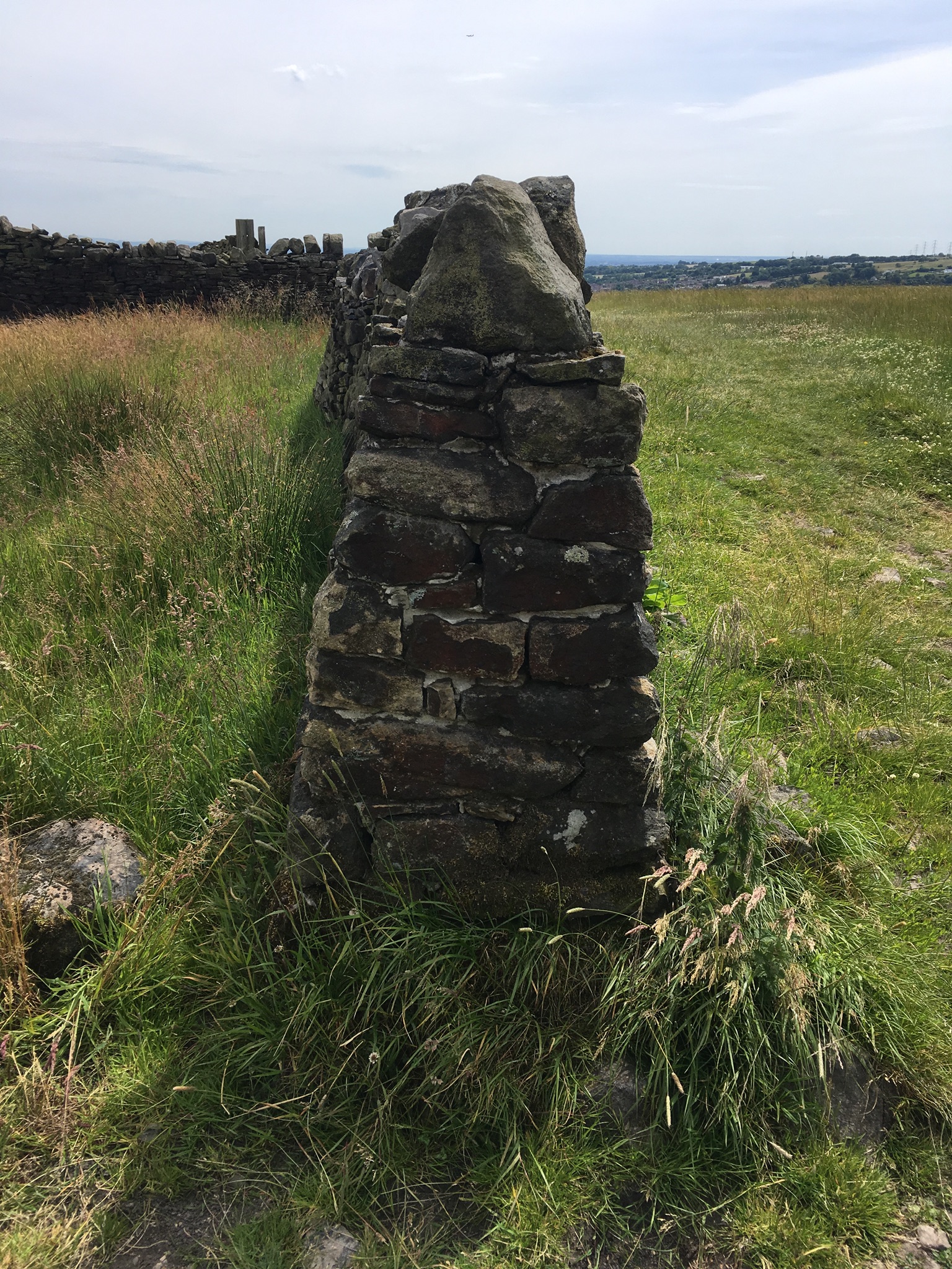
The dry stone wall in section, showing the way it was constructed
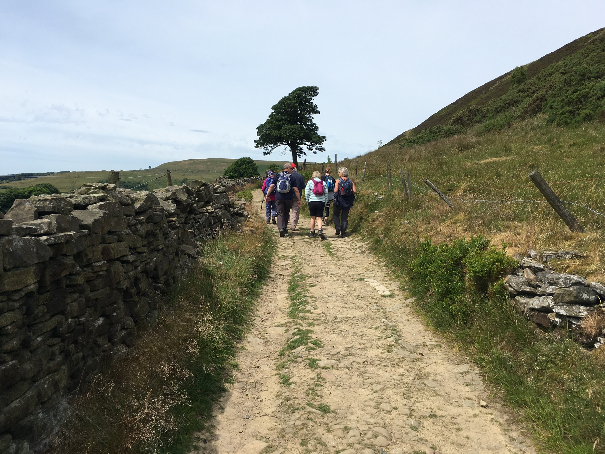
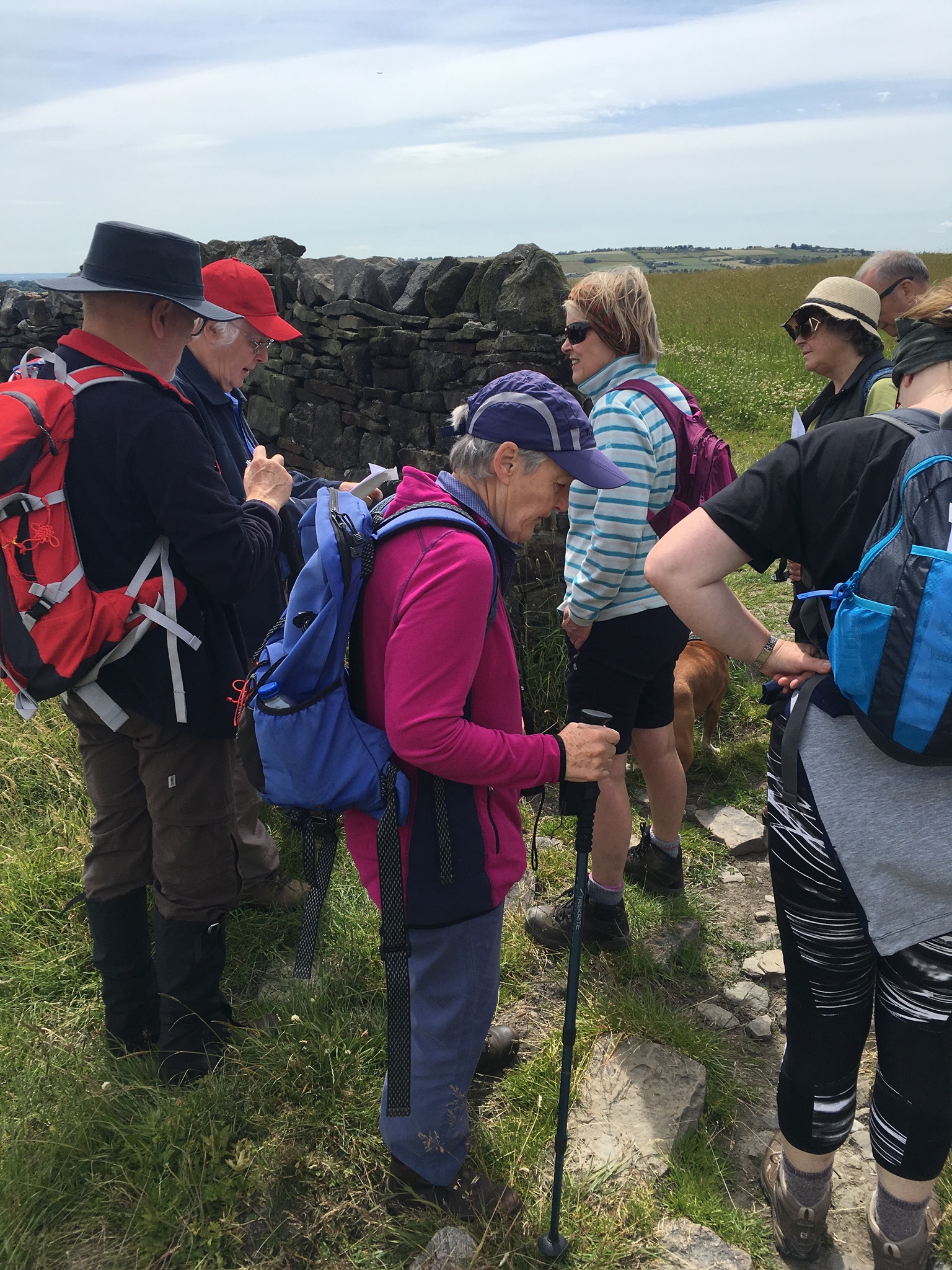
Walking along Moorbottom Road
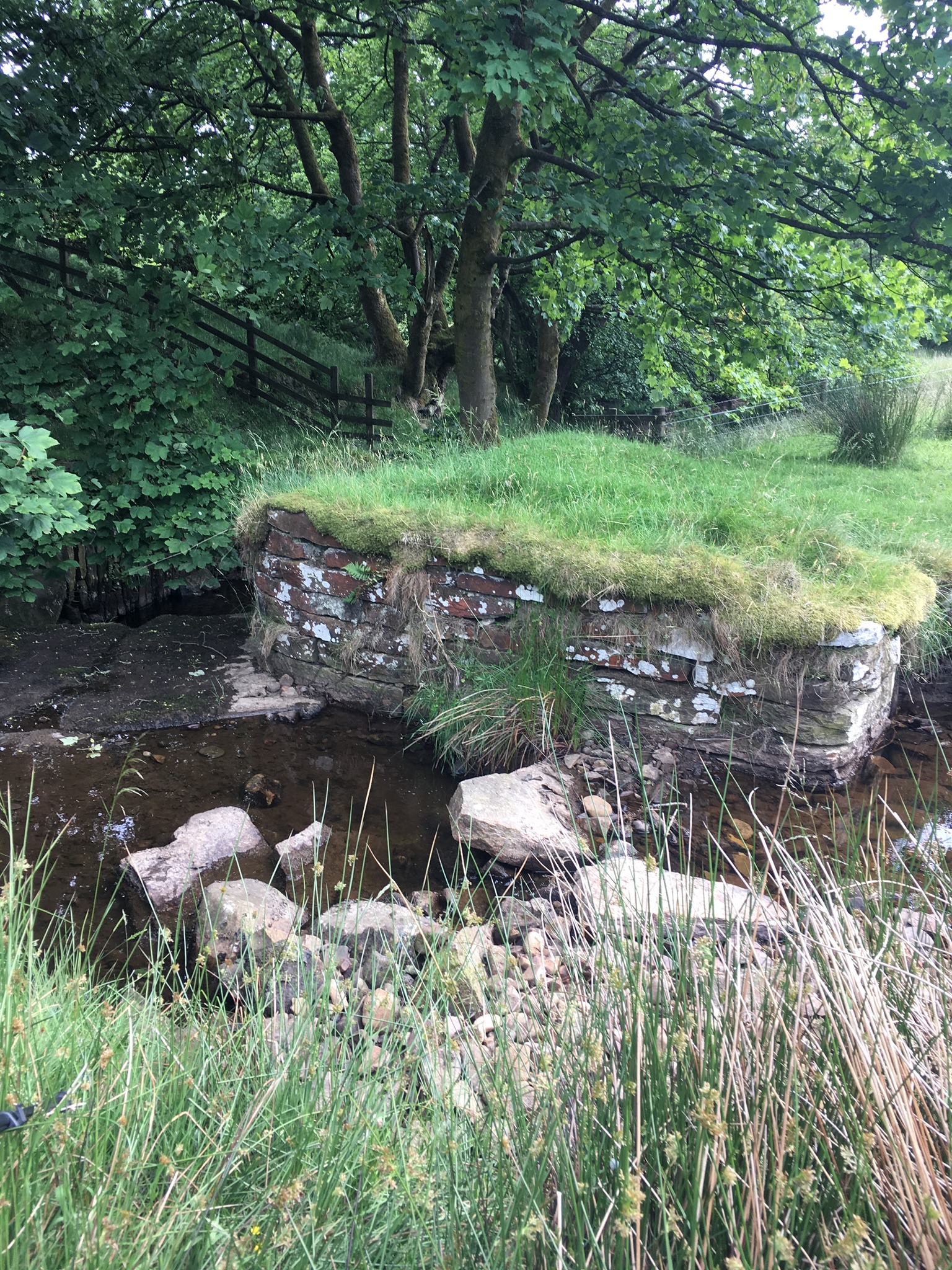
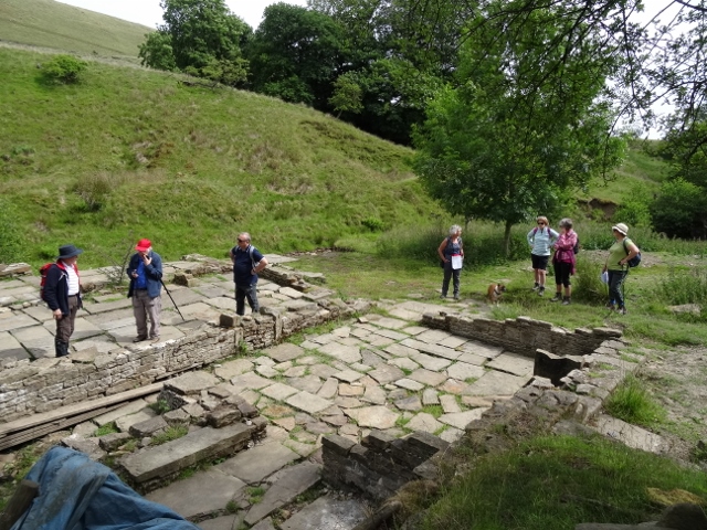
The weir, which was constructed to provide water power for Cinder Hill Engine House
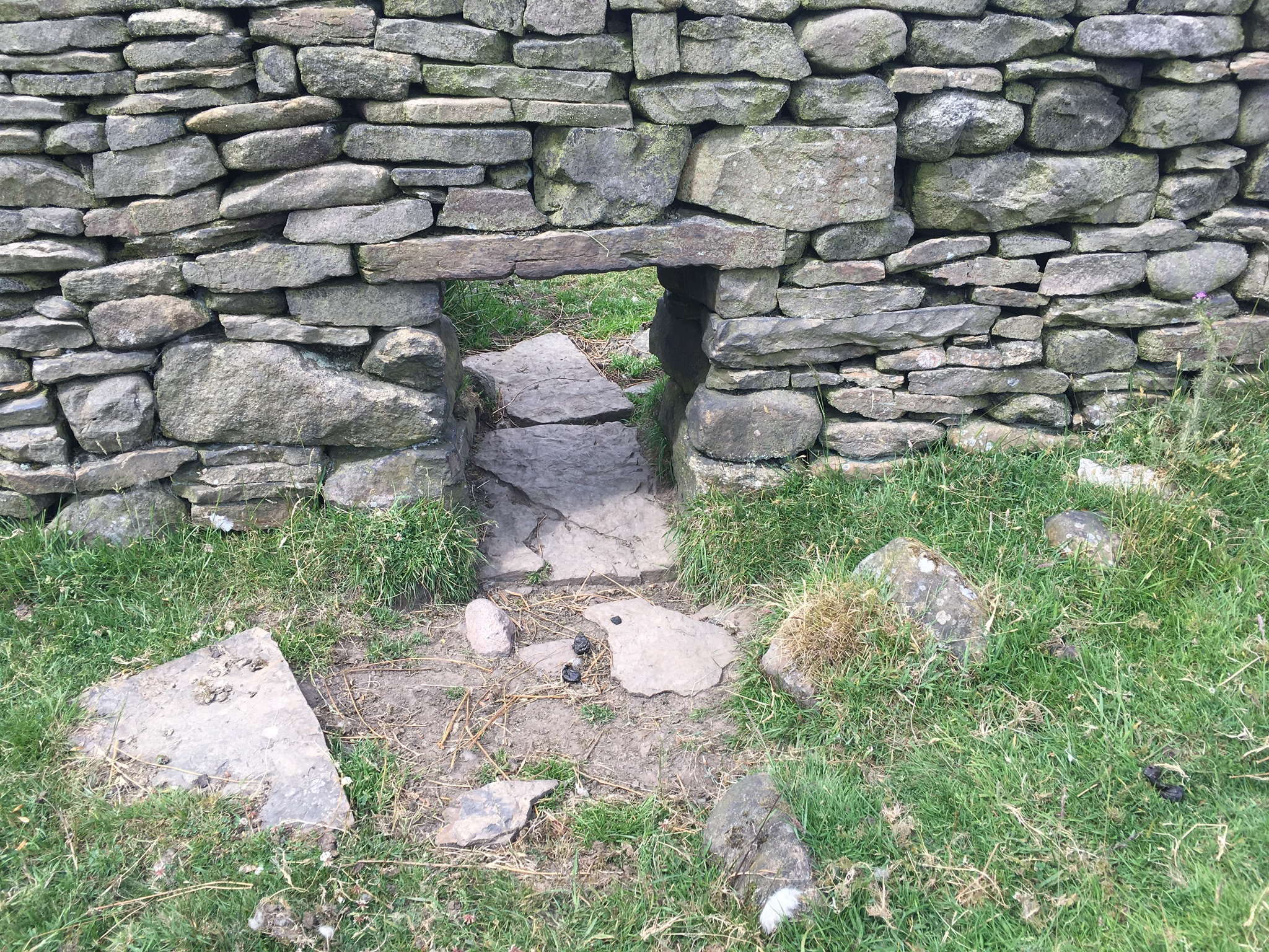
A hogg hole or “cripple hole” which allowed sheep to pass from field to field or farmers to separate lambs from their mothers
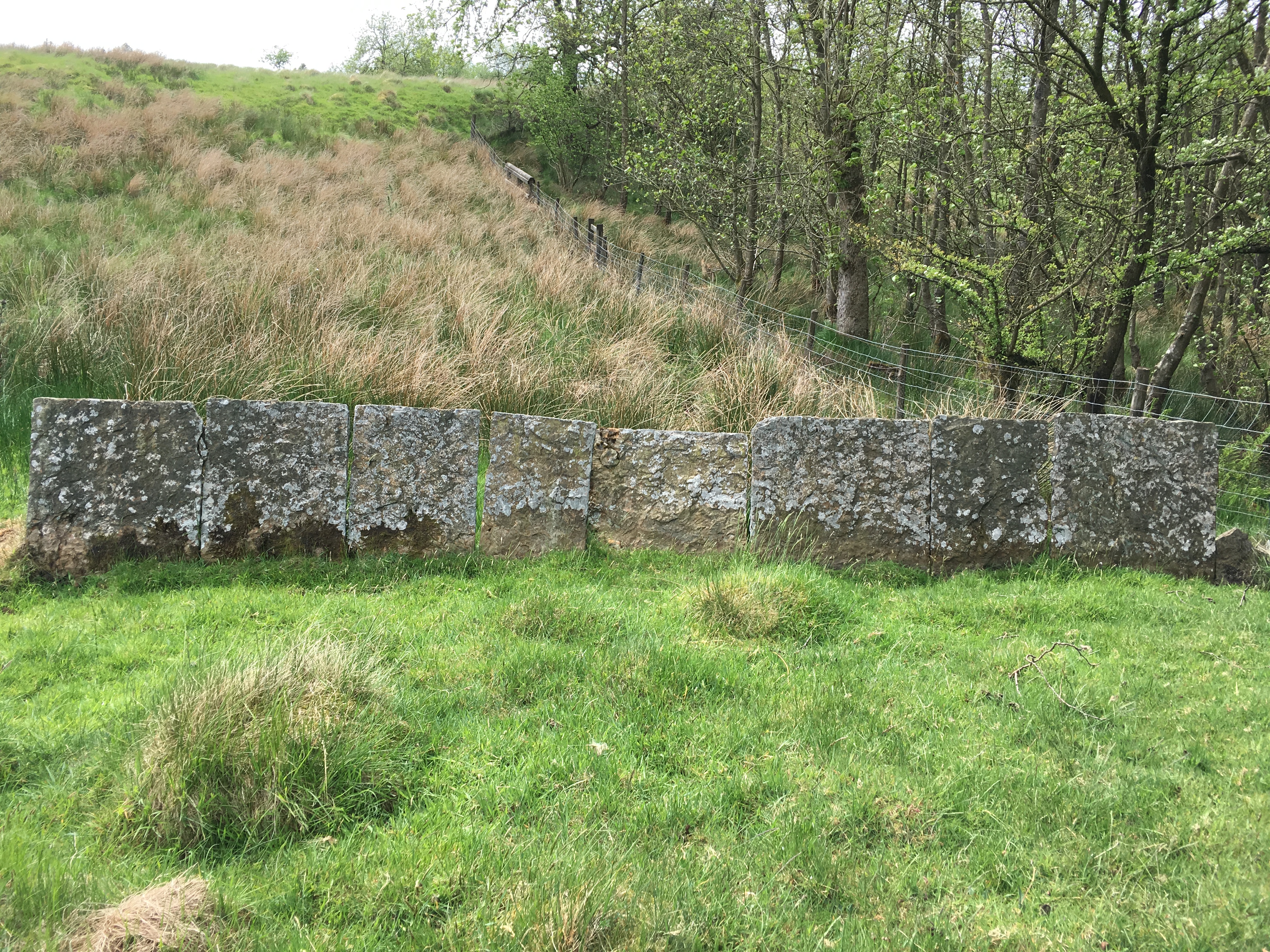
A vaccary wall possibly dating from the 17th century
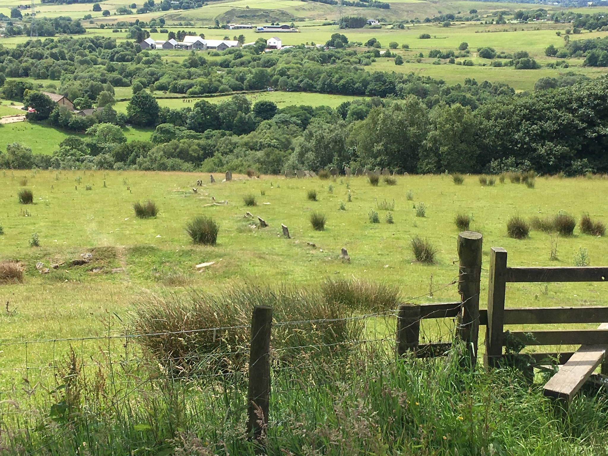
Another example of a vaccary wall, curving across this field
A sandy beach preserved as a fossil
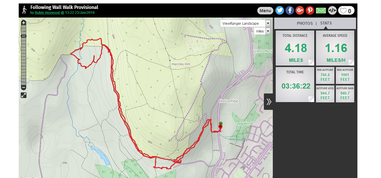
The route of the walk
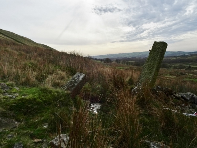
Another example of a stoop
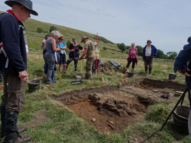
Looking at the medieval bloomery furnace
The group visited the site of Cinder Hill Engine House where our previous dig took place